Upper Hassayampa River
Yesterday I went on an adventure just outside of Wickenburg, Arizona. I traveled north on Constellation Road (just east of the McDonald’s off of US 60) for nearly 17 miles until its end at a trail-head that leads to the Upper Hassayampa River. The first eight miles is a smoothly graded dirt road that passes by the rodeo grounds. The remaining eight or so miles is bit more rugged and I was glad to have had my 4×4. En route to the trail-head I came across a slew of trails leading to various mines, many abandon, but several looked to still being operated.

One area I came across was an ol’ mining camp with many rock domiciles now in ruin. It was fascinating to walk around the area seeing the old structures and imagining what camp life must have been like. The mine entrances and shafts now have barricades around them, but you could tell that doesn’t keep everyone out…including moi. I found a tunnel that I just had to peer into—my curiosity for such things is veracious, but I also have a prudent side that tells me exploring such things alone is not the smartest thing to do. After an hour of exploring the area and taking photos, I continued my journey toward the Upper Hassayampa River trail-head.
As I continued I was really enjoying the vistas views, deep canyons, old mining equipment and unique rock formations along the way. I had driven quite a ways without seeing a single sign for the Upper Hassayampa River, but was enjoying the drive nonetheless. I was getting close to turning around, but couldn’t help but wonder what was around the next bend. I knew the trail-head was near the Williams Ranch and I did see a few signs indicating I was going in that direction…so I continued. At just over 16 miles I saw the last sign with an arrow to Williams Ranch, which is where I figured I’d turn around, however I was in a wash driving through a slot canyon. At the point where I finally saw the ranch, a BLM sign for the Upper Hassayampa River trail-head finally appeared.

After grabbing some snacks, water and gear, I hit the trail. The trail is very deep sand and not the most comfortable for hiking, but once you hit the river and walk along its banks, you know it was worth it. The colorful canyon walls littered with Saguaros and other vegetation as the meager river runs its course provides a riparian refuge not only for weary hikers, but for the wildlife as well.
During my visit in early March the river was more of a creek, so I sat on a boulder, enjoying my refreshments and the sun on my face.
Notes:
 Regardless of the time of year you choose to explore the upper Hassayampa River, there are some fundamental you should follow.
- There are a lot of rocks and grass, so be cautious April-September for snakes.
- Let someone know specifically where you are going before you depart and when you plan to return.
- Take plenty of water and snacks.
- Make sure your vehicle is in good working order.
- Allow a combined travel and hiking time of at least five hours. This includes approximately one hour of driving time each way on Constellation Road plus the time it will take to hike.
- Heavy winter or monsoon rains can temporarily increase the flow in the Hassayampa River to flood stage even after the runoff has subsided in the washes along Constellation Road.
Parking Area: N 34o 06′ 13″ by W 112o 34′ 18″ (elevation ~2750 ft.)
If you’ve ever been to the Upper Hassayamp River area, please leave a comment below and share your experience with my readers and me.


![Top-5 Best Places to visit in Belgium beyond Brussels [video included]](https://mikesroadtrip.com/wp-content/uploads/2020/07/Pin-6b.jpg)
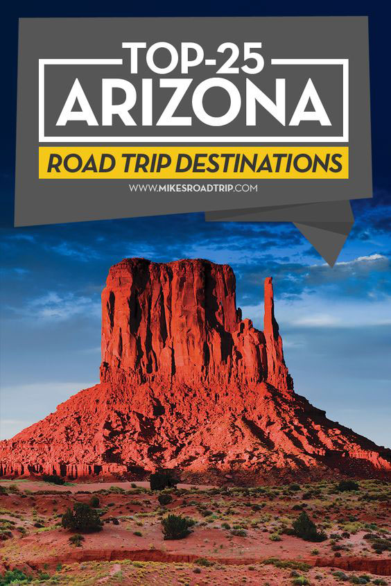
![Top-10 Most Interesting Facts about Arizona [Video Included]](https://mikesroadtrip.com/wp-content/uploads/2020/07/Pin-2.jpg)